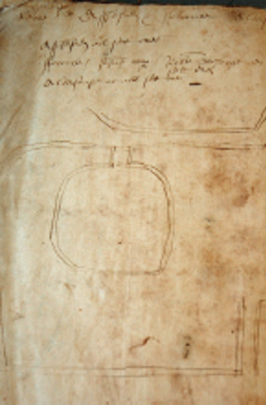
1567 surveyor's sketch map of mill in East Meon Hundred.The text reads: Myle pond, river, the lug, well. Assheford set all over, Forcombe John Cooper Robert Sharp, Aldersnape Myle pond, river, the lug, well. Assheford set all over, Forcombe John Cooper Robert Sharp, Aldersnape set over
A selection of old maps of East Meon, starting with an unique sketch map by the 1567 surveyor showing a mill in the hundred. The most comprehensive mapping of the parish took place in the mid-19th century when the country was surveyed and assessed for the Apportionment of Tithes.
License
Creative Commons Attribution-NonCommercial-NoDerivs (CC-BY-NC-ND) 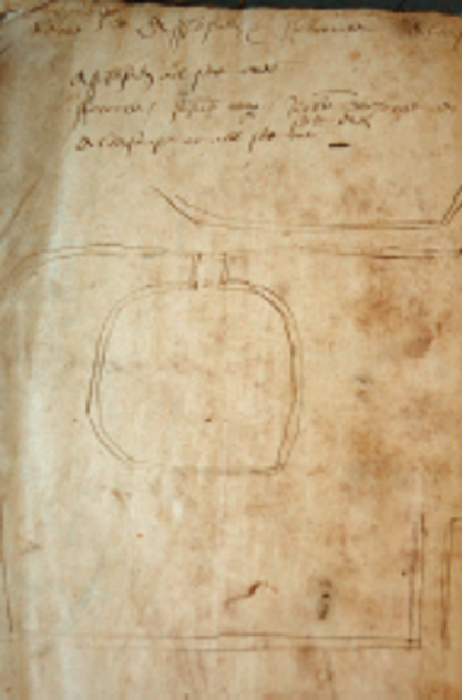
No Comments
Add a comment about this page