Maps, old
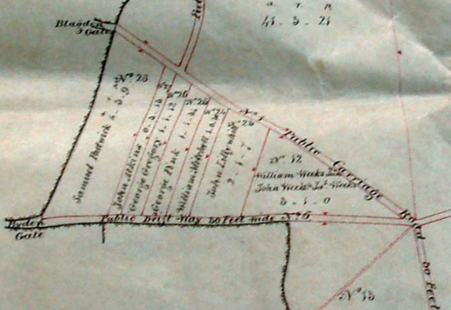
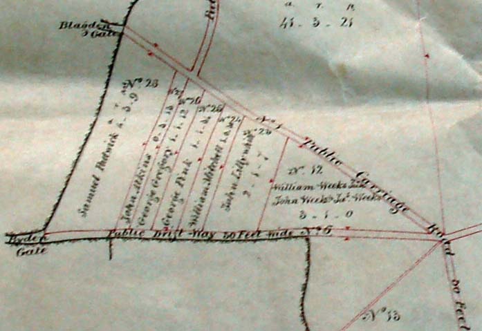
Enclosures Map detail with strips
A selection of old maps of East Meon, starting with an unique sketch map by the 1567 surveyor showing a mill in the hundred. The most comprehensive mapping of the parish took place in the mid-19th century when the country was surveyed and assessed for the Apportionment of Tithes.
No Comments
Add a comment about this page