Ordnance Survey 1961
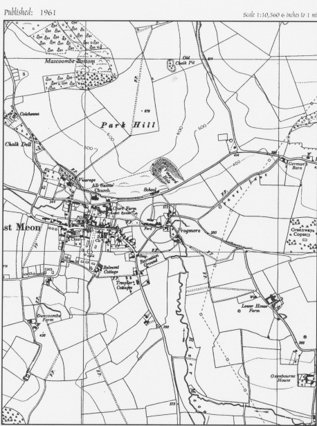
Ordnance Survey 1961
In 1970, a map was made of the Conservation Area in the centre of East Meon.
In 1999, a VIllage Design Statement was written which suggested new policy boundaries for the village. (This map is also attached as a PDF.)
Creator
EHDC and VDSDate of creation
1970 - 2000Date of coverage
1970 - 2000Place
East MeonCopyright
EHDC and Ordnance SurveyLicense
Creative Commons Attribution-NonCommercial-NoDerivs (CC-BY-NC-ND)Caption
Ordnance Survey 1961Format
Photo (2734)
No Comments
Add a comment about this page