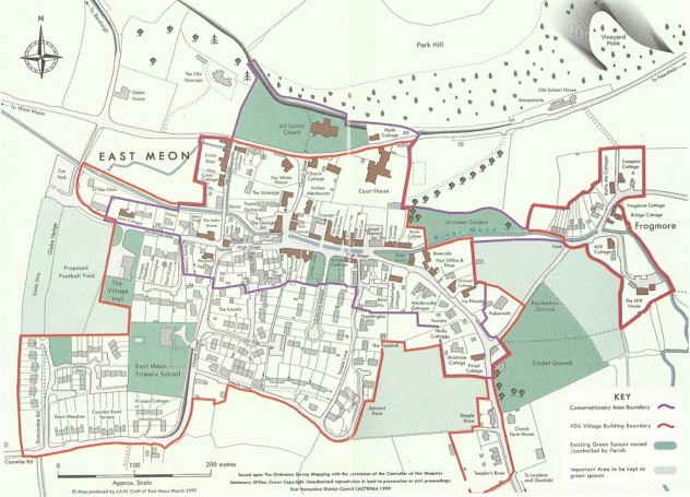
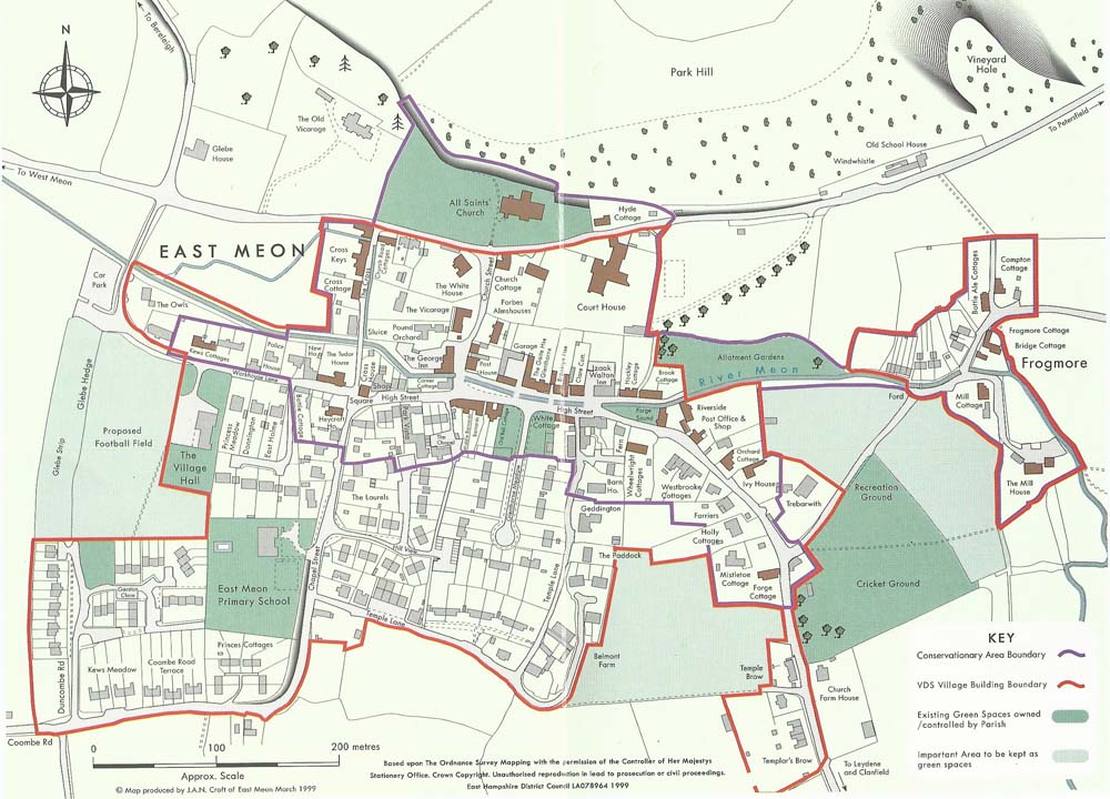
Twentieth century maps zoomPolicy boundaries in VIllage Design Statement, 1999In 1970, a map was made of the Conservation Area in the centre of East Meon.In 1999, a VIllage Design Statement was written which suggested new policy boundaries for the village. (This map is also attached as a PDF.)Creator EHDC and VDS Date of creation 1970 - 2000 Date of coverage 1970 - 2000 Place East Meon Copyright EHDC and Ordnance Survey License Creative Commons Attribution-NonCommercial-NoDerivs (CC-BY-NC-ND) No CommentsStart the ball rolling by posting a comment on this page! Add a comment about this pageYour email address will not be published. Required fields are marked *Your comment:Name * Email * I consent to my name and e-mail address being stored along with this comment, and to the website editors communicating with me by e-mail about the comment if necessary. My name may be published alongside the comment on the website, but my e-mail address will not be published. My information will not be shared with any third party (see our Privacy Statement - opens in a new window). * Δ
No Comments
Add a comment about this page