Tithe Maps
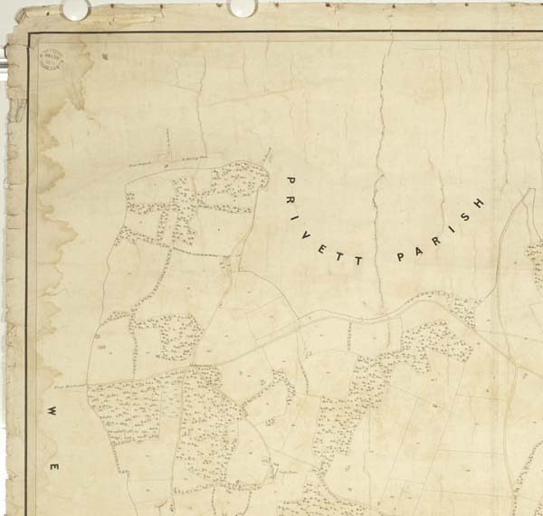
Top LHS of map showing Pri
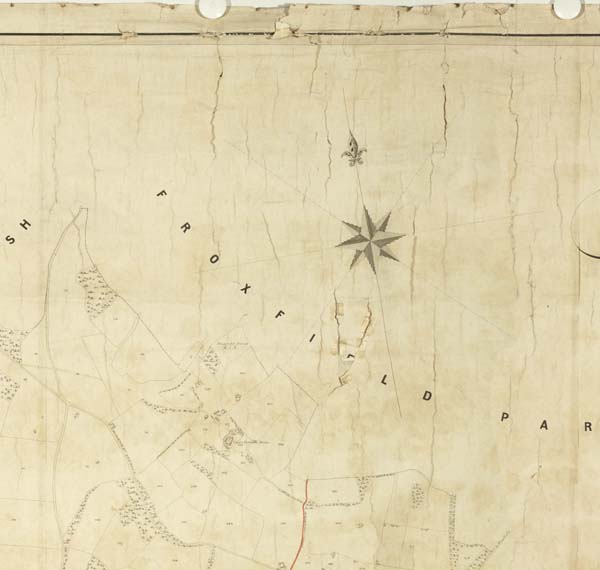
Froxfield Park
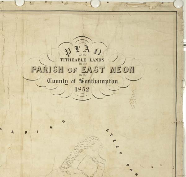
Steep Park
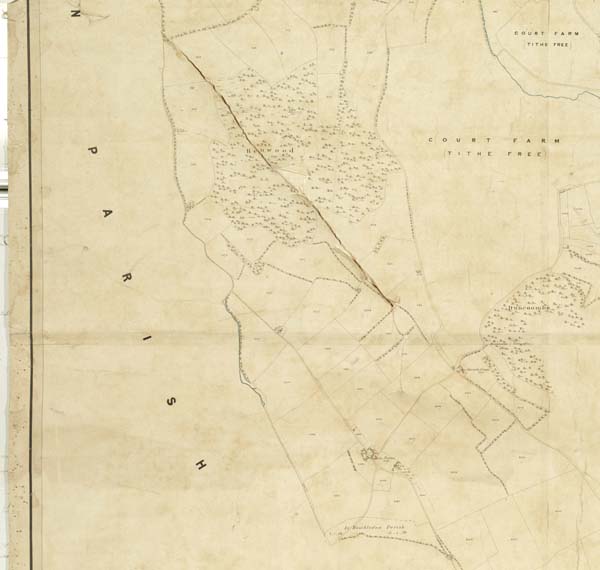
Hen Wood and Court Farm West of the village
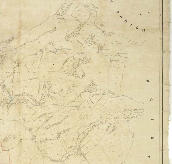
Ramsdean and Stroud Common
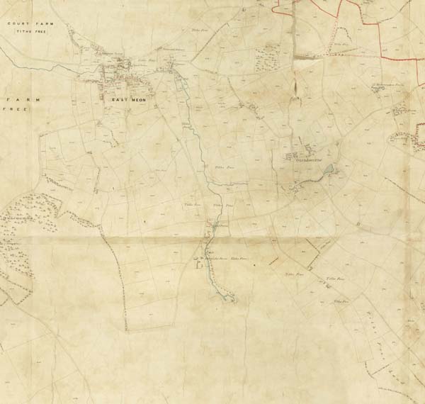
Village & Oxenbourne
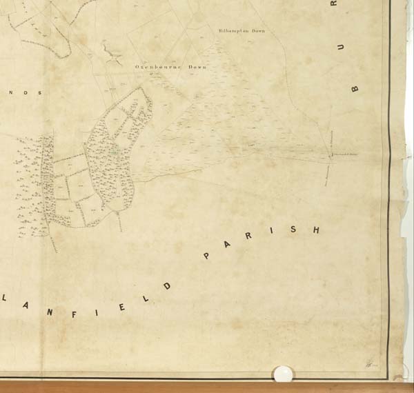
Oxenbourne & Hillhampton Downs
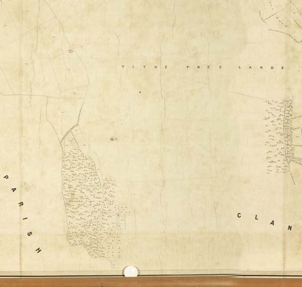
Coombe Copse
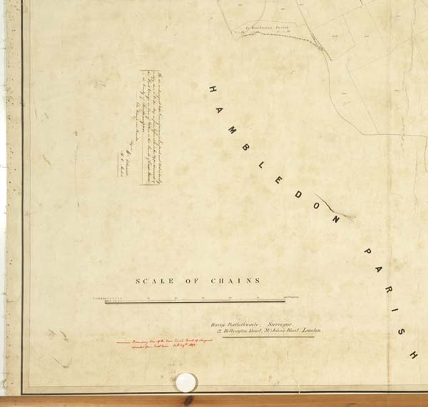
Hambledon Parish
These images are details from the Tithe Map of East Meon. The numbers of the plots correspond with the entries in the spreadsheet which can be downloaded from the Tithe Awards page. (Note that the original maps are very high definition and it may not be possible to enlarge these JPEGs sufficiently to detect the numbers of individual plots.)
No Comments
Add a comment about this page