Maps, old
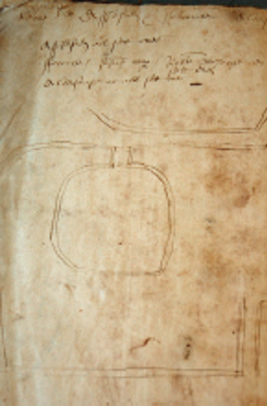
1567 surveyor's sketch map of mill in East Meon Hundred.The text reads: Myle pond, river, the lug, well. Assheford set all over, Forcombe John Cooper Robert Sharp, Aldersnape Myle pond, river, the lug, well. Assheford set all over, Forcombe John Cooper Robert Sharp, Aldersnape set over
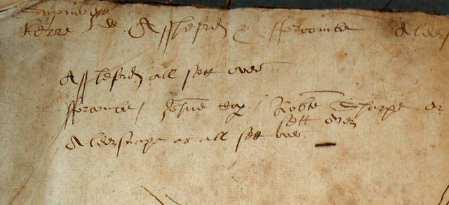
Text of mill map
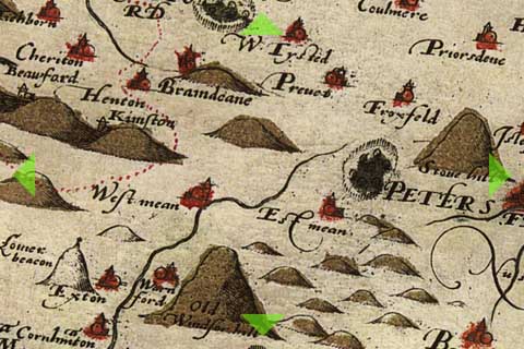
Detail of Christopher Saxon's map 1575
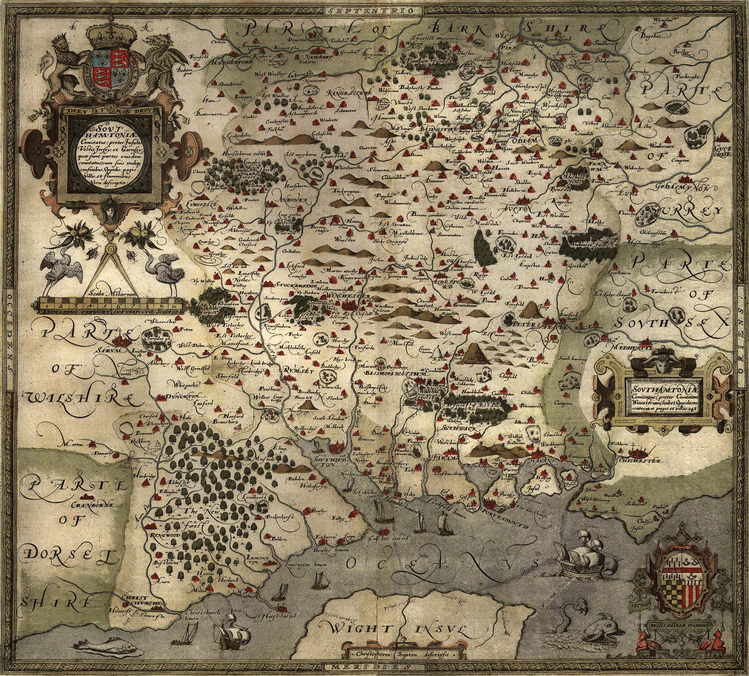
Christopher Saxton map of Hampshire 1575
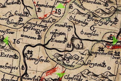
Detail from John Norden map 1607
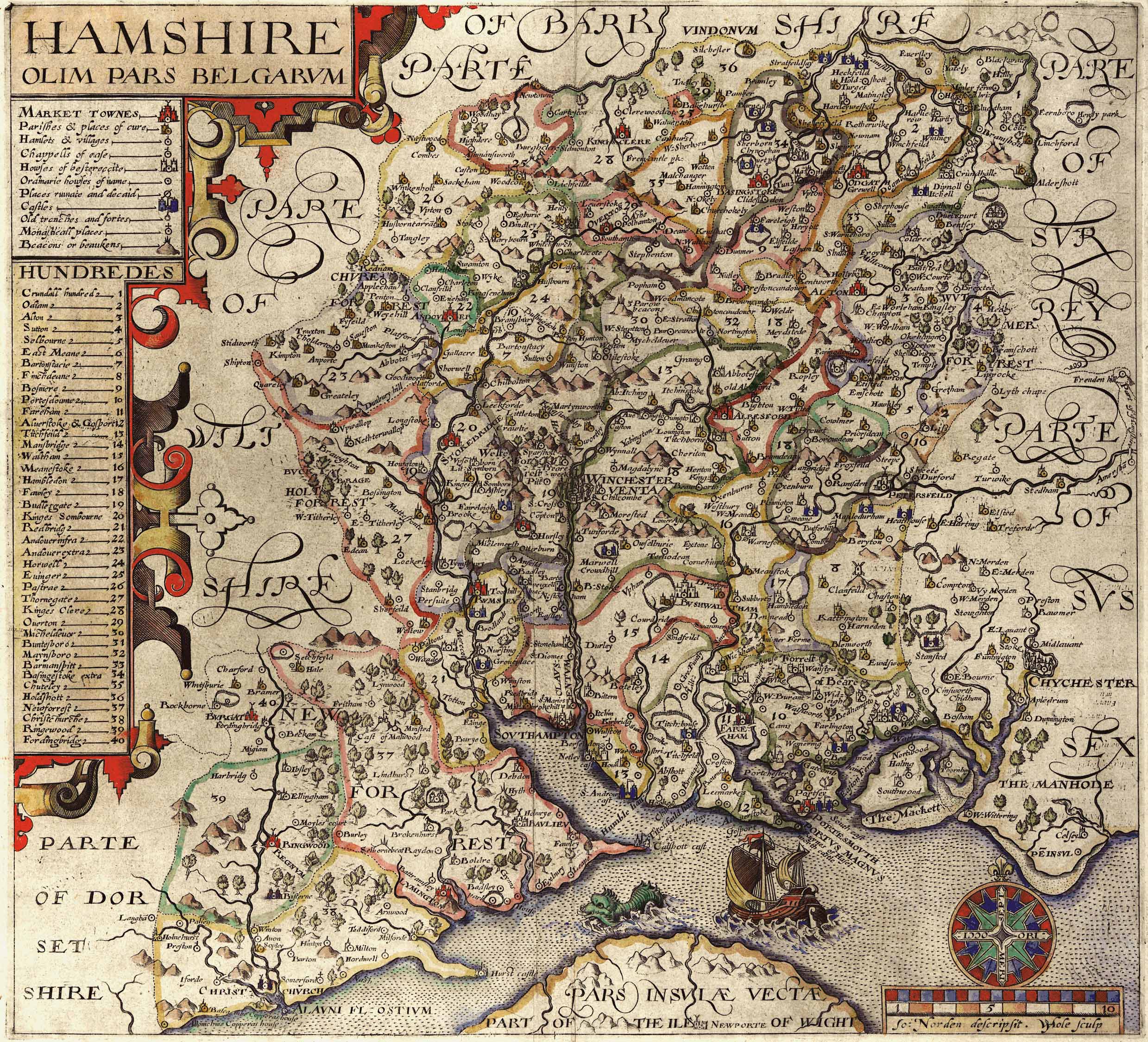
John Nordern map of Hampshire 1605
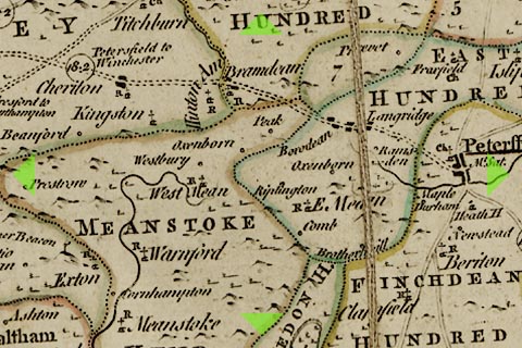
Detail of Thomas Kitchin map 1760
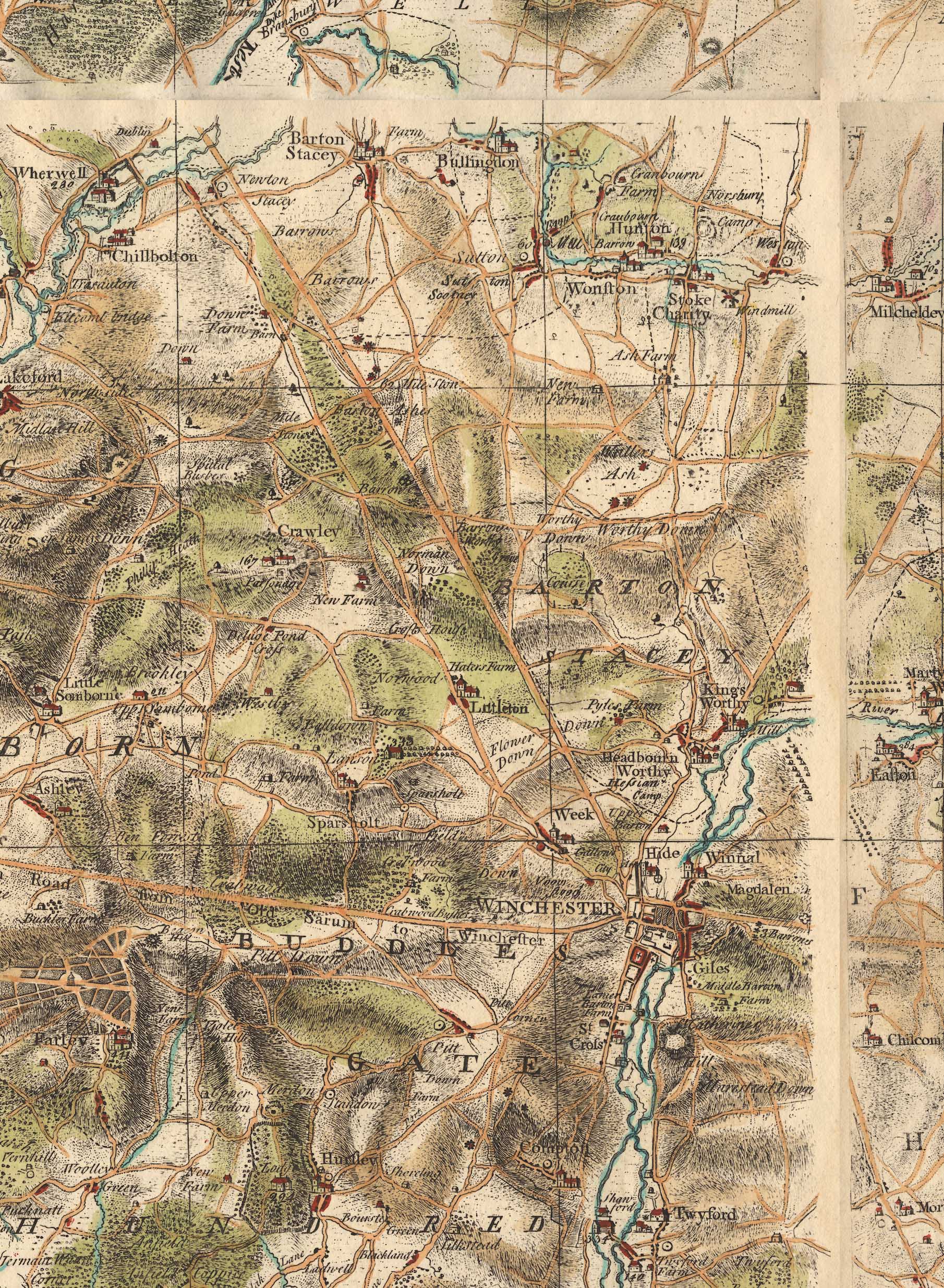
Taylor map 1759
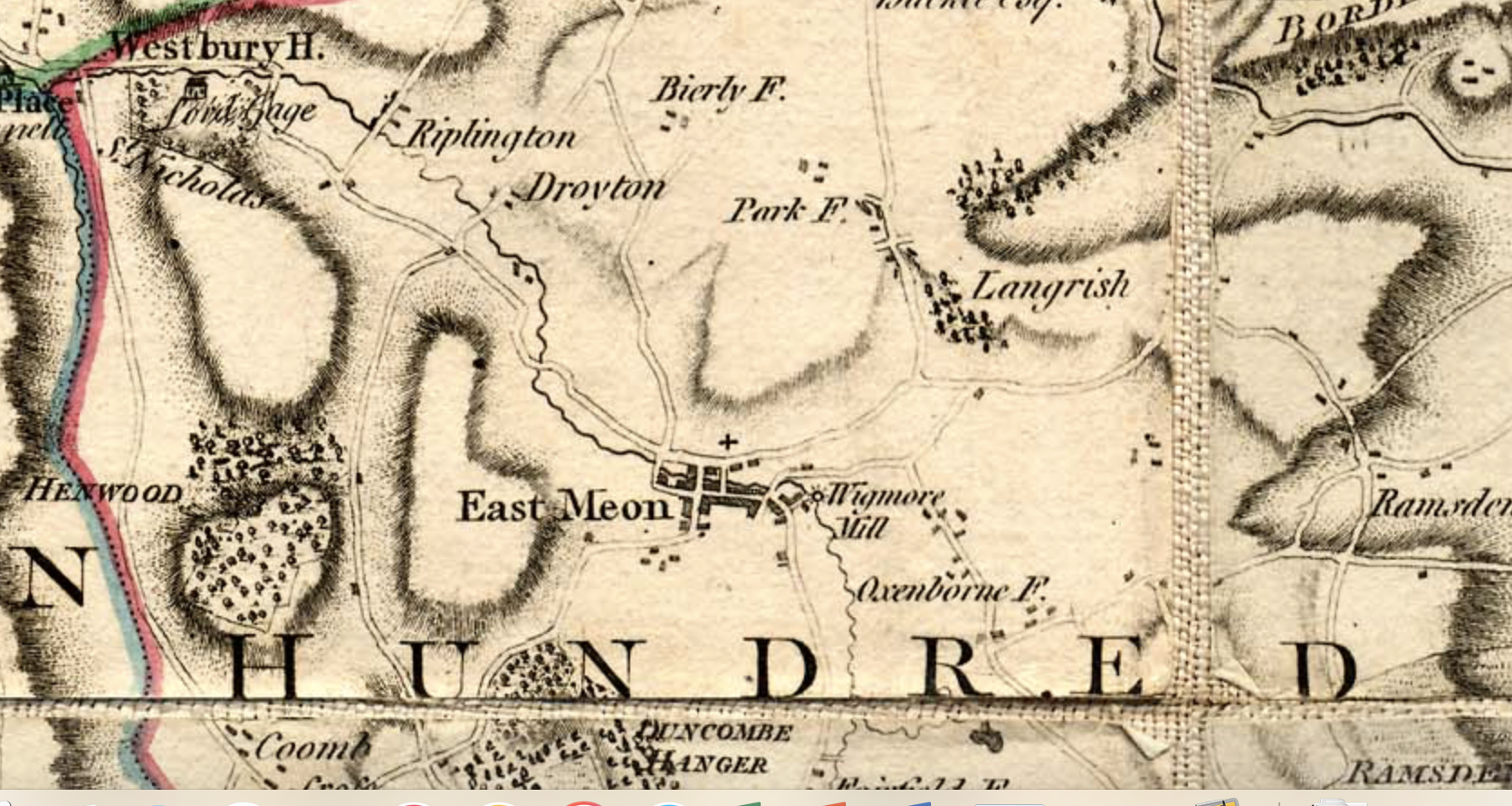
Detail of Thomas Milne map 1791
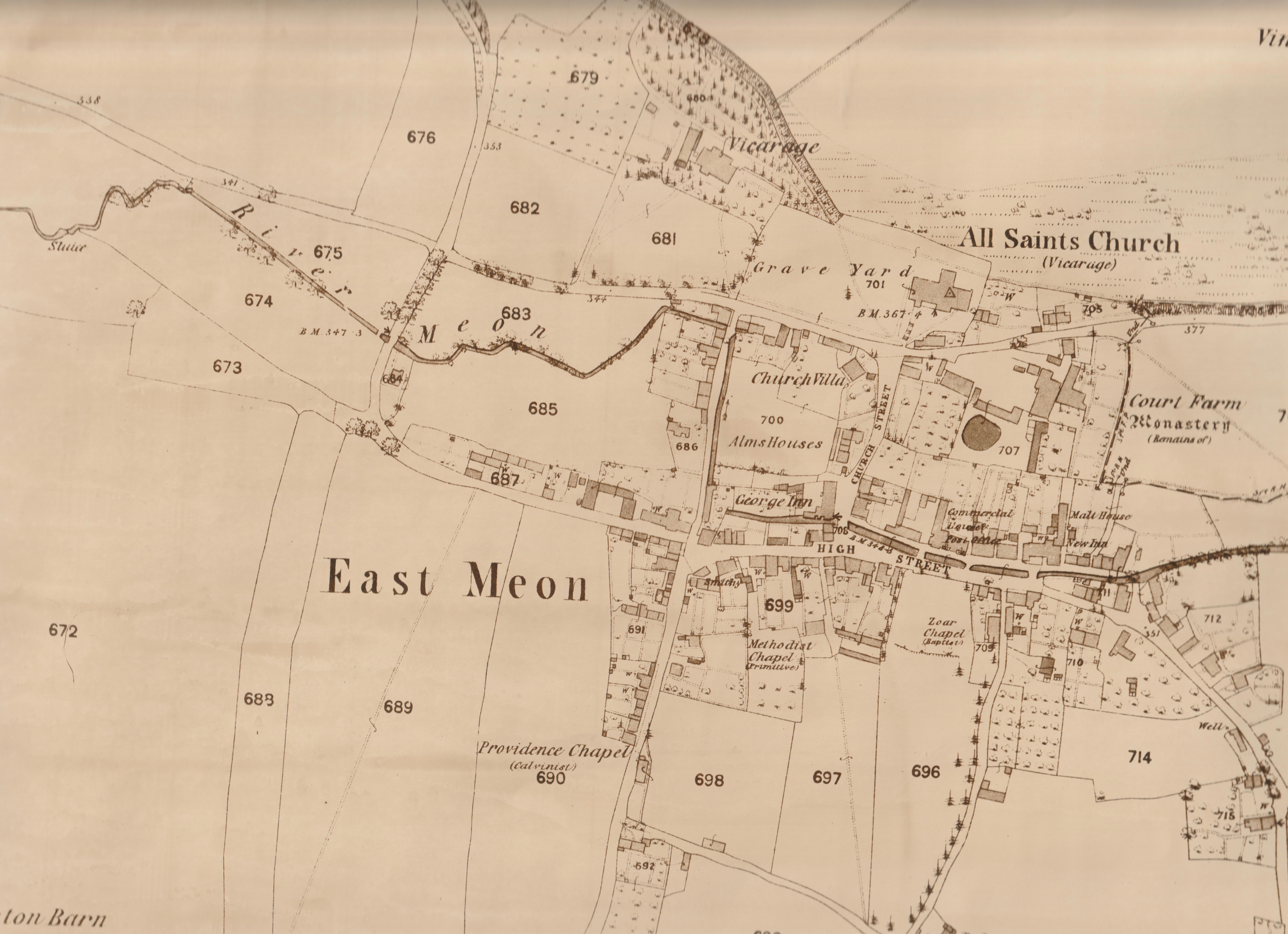
First Ordnance Surveymap of East Meon, 1869
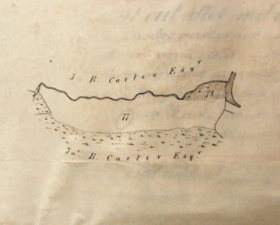
Detail of Lot 77 - Bonham Carter
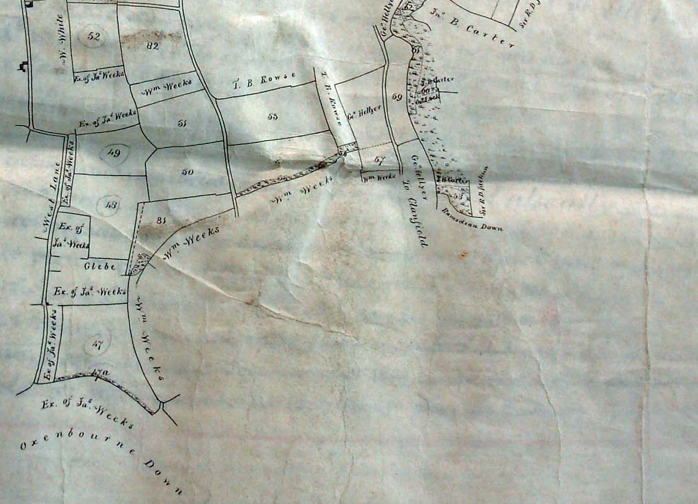
Map around Oxenbourne Down, allottees include William Weeks, Executors of James Weeks, George Hellyer, T.B.Rowse.
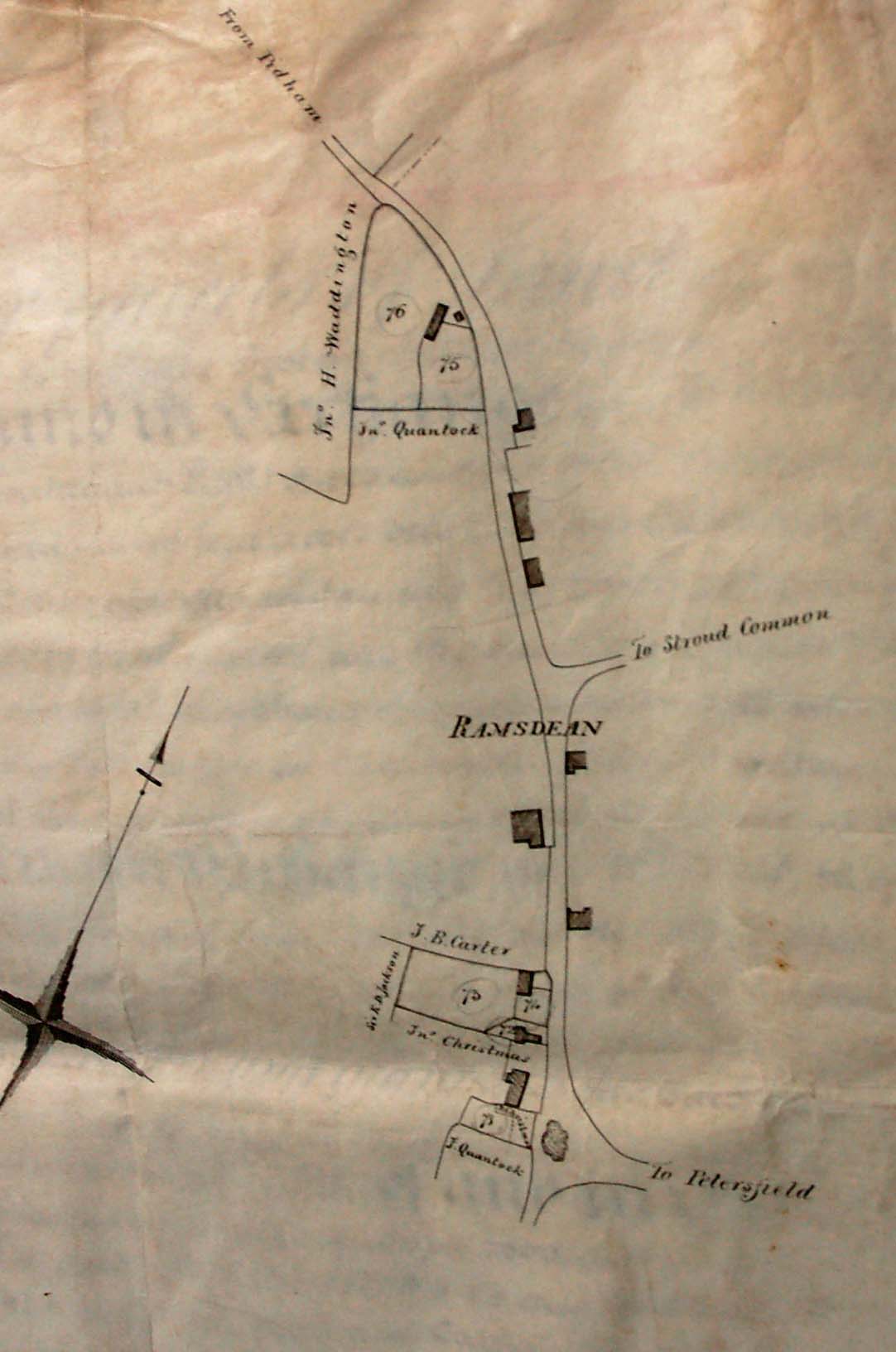
Map showing Ramsdean, allottees include Sir H Waddington, John Quantock, J.B.Carter, John Christmas
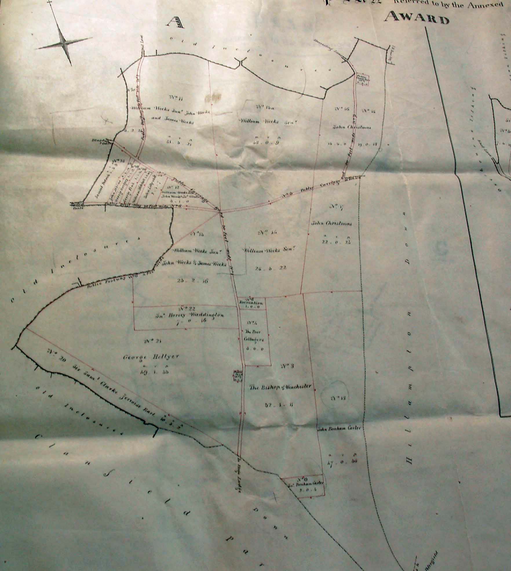
North of Clanfield, and boundaries of 'Old Inclosures'. Allottees include William Weeks Jnr, John, William Weeks Snr, James Weeks, George Hellyer, John ChristmasT.B.Rowse, Samuel Padwick, John Atkins, George Gregroy, George Pink, William Mitchell, John Lillywhite, john Horsey Waddington, The Poor Cottagers, Sir Samuel Jervoise Bart.
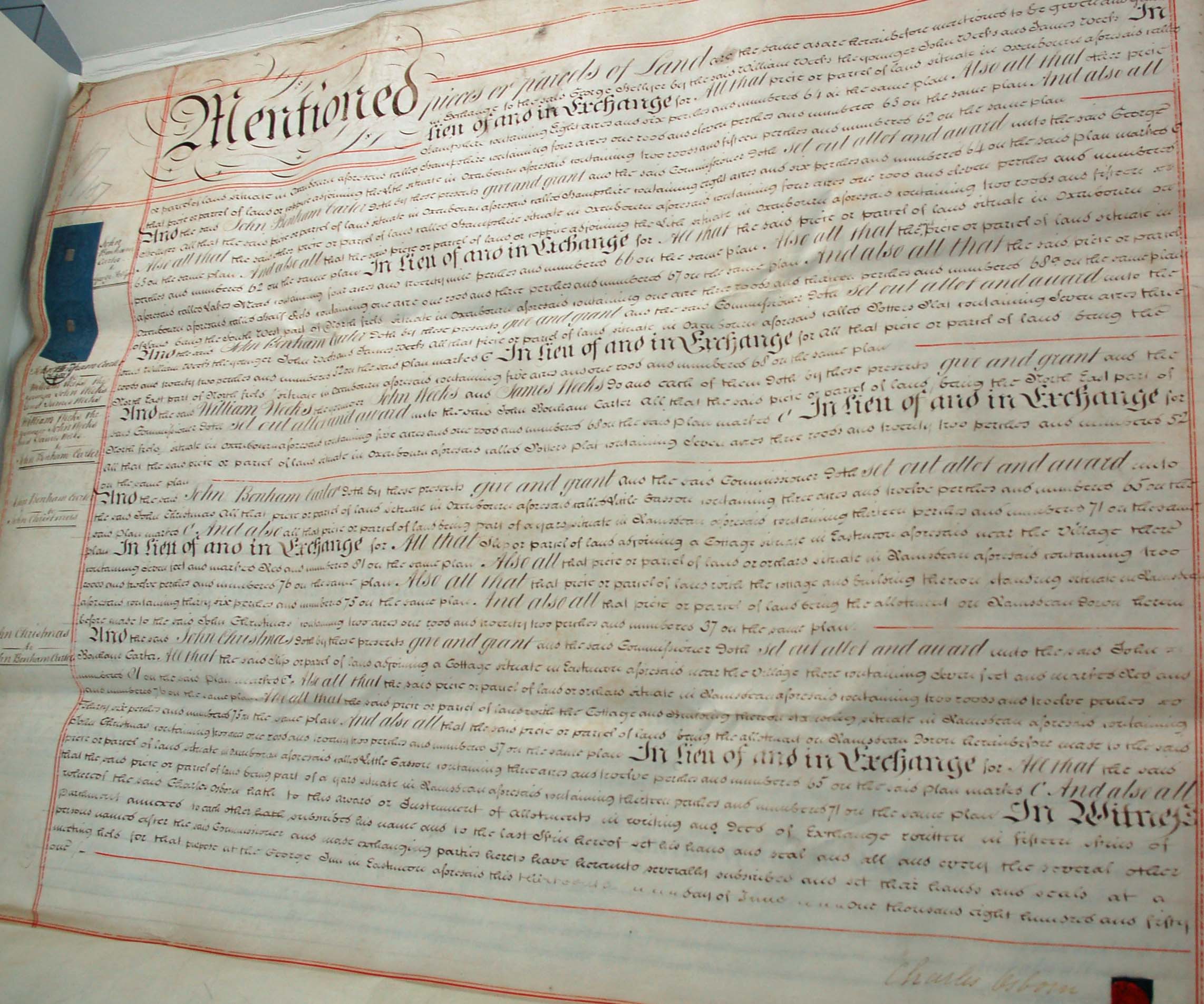
'Mentioned pieces of land. Names include John Bonham Carter, William Weeks, John Weeks, James Weeks, John Christmas,
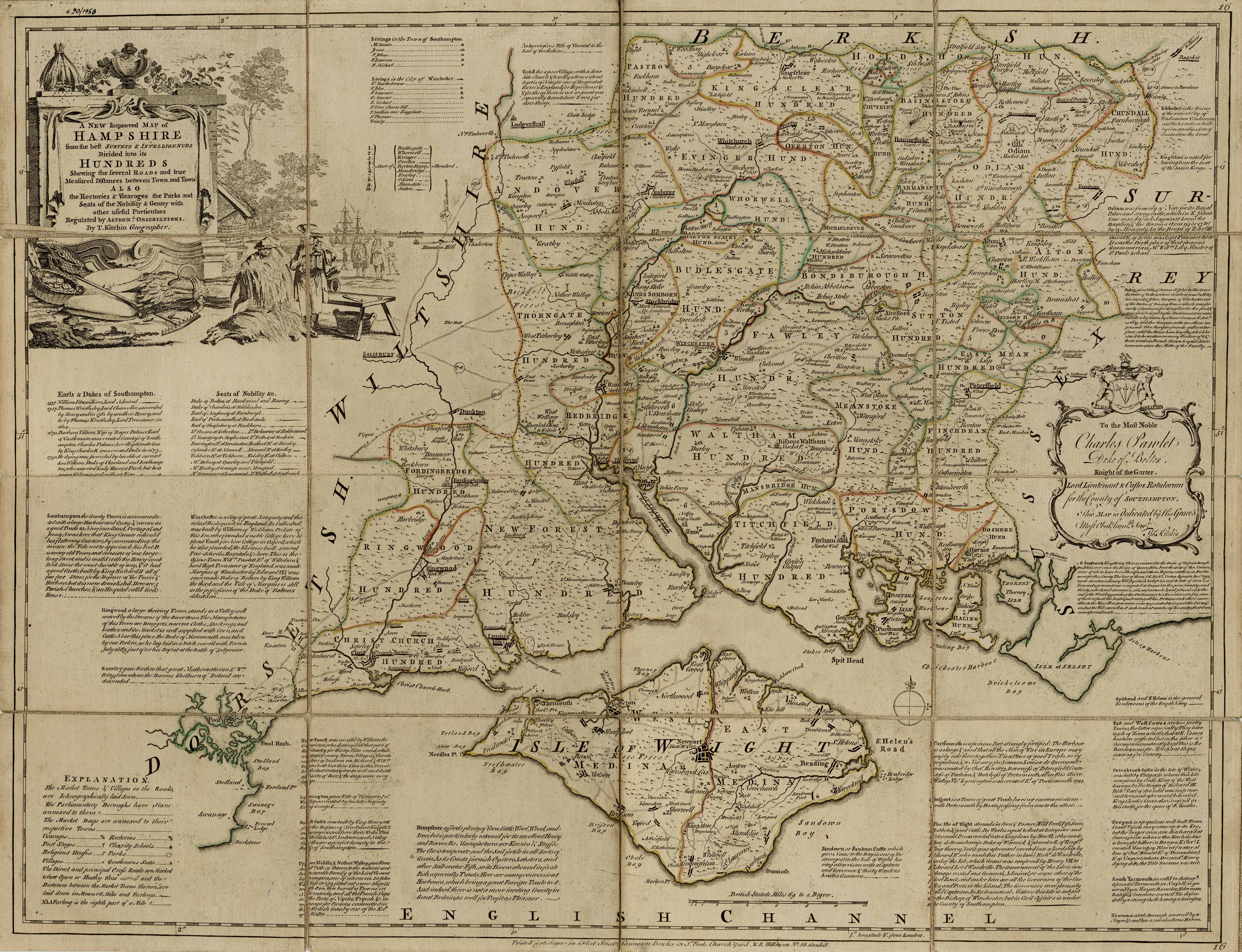
Thomas Kitchin map of Hampshire, 1760
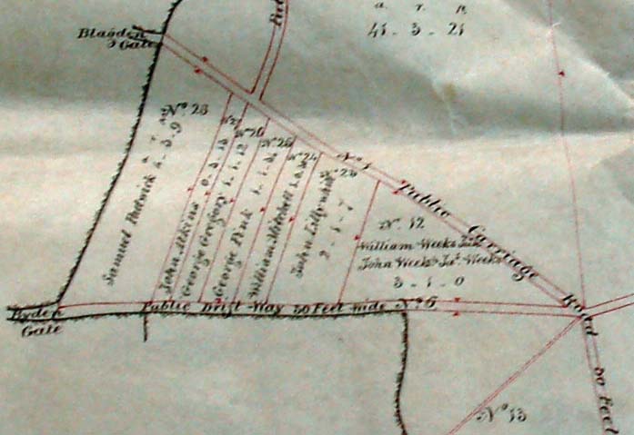
Enclosures Map detail with strips
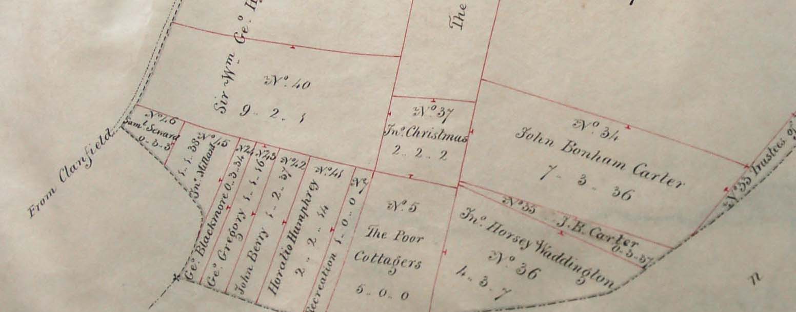
Section of 1845 Enclosure map including field allotted to 'Poor Cottagers'
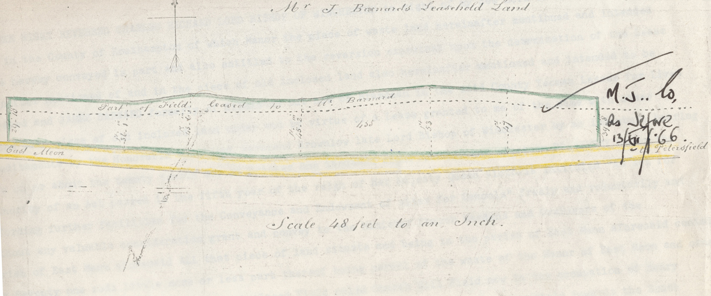
The land given in 1845 by the Diocese for the construction of East Meon National school
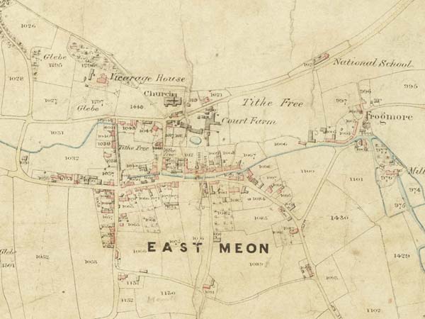
Section of East Meon Tithe Apportionment map 1852 showing village of East Meon
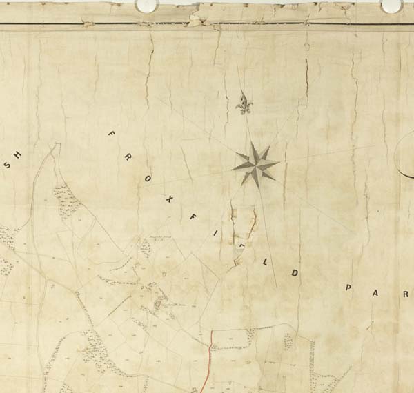
Section of East Meon Tithe Apportionment map 1852 Froxfield Park
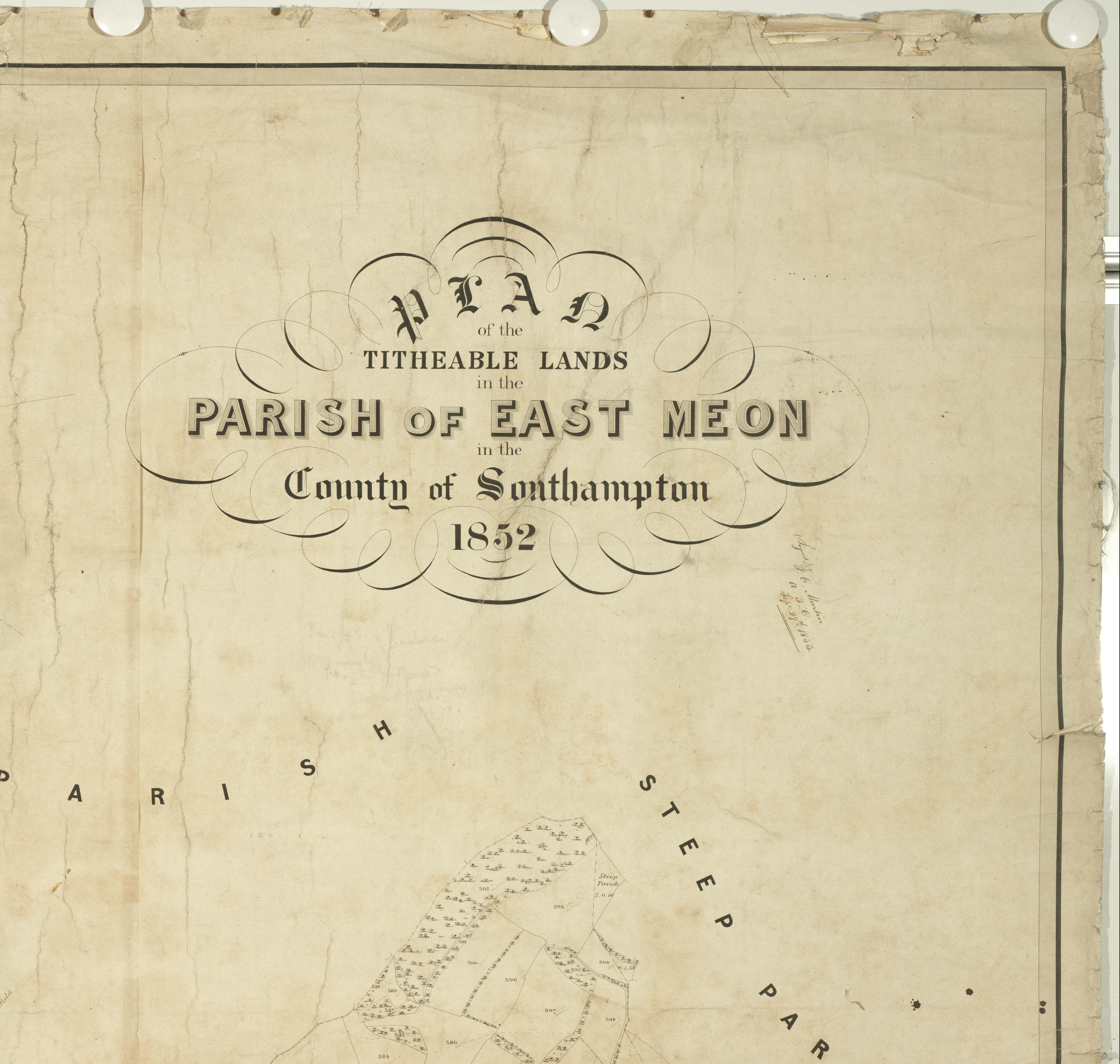
Header of East Meon Tithe Apportionment map 1852
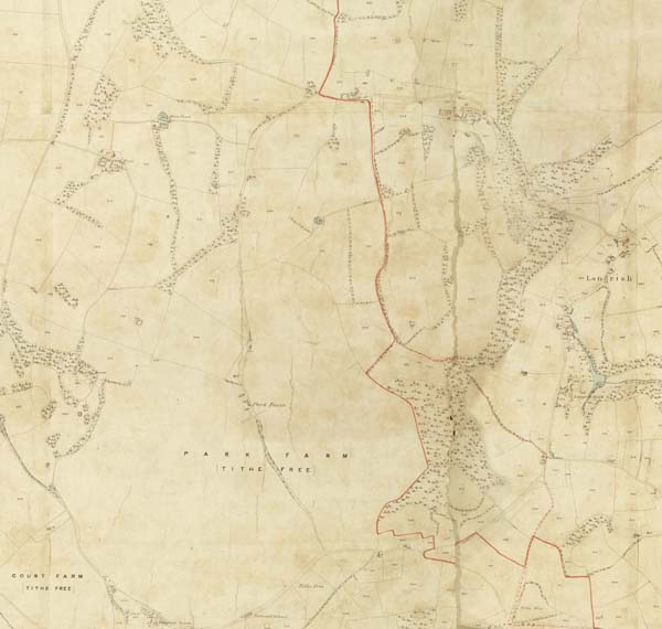
Section of East Meon Tithe Apportionment map 1852 Park Farm & Langrish
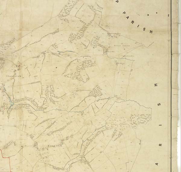
Section of East Meon Tithe Apportionment map 1852 Ramsdean and Stroud Common
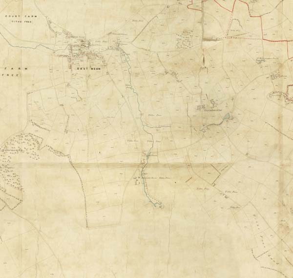
Section of East Meon Tithe Apportionment map 1852 Village & Oxenbourne
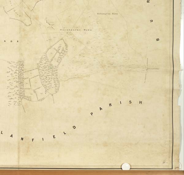
Section of East Meon Tithe Apportionment map 1852 Oxenbourne & Hillhampton Downs
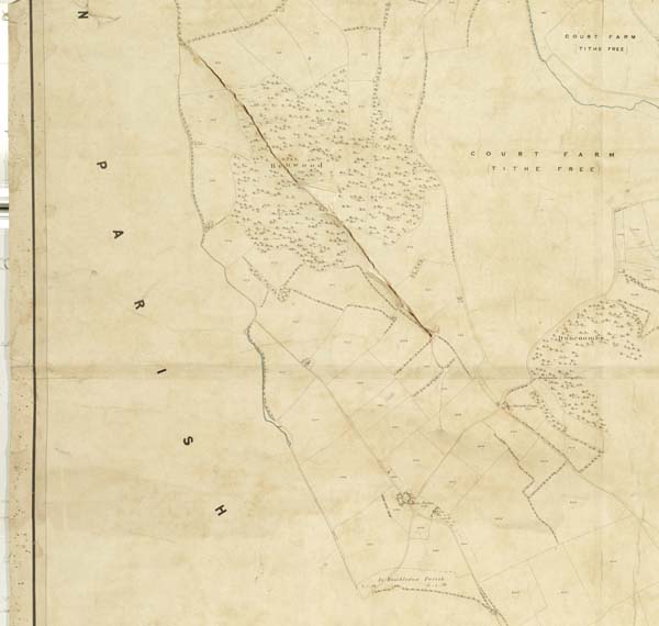
Section of East Meon Tithe Apportionment map 1852 Hen Wood and Court Farm West of EM
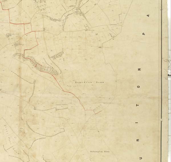
Section of East Meon Tithe Apportionment map 1852 Cridell & Ramsdean Bottom
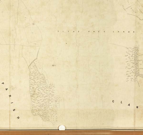
Section of East Meon Tithe Apportionment map 1852 Coombe Copse
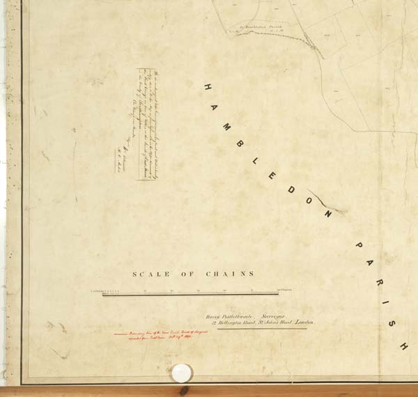
Section of East Meon Tithe Apportionment map 1852 Hambledon parish border
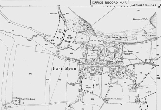
First Ordnance Survey map of East Meon 1869
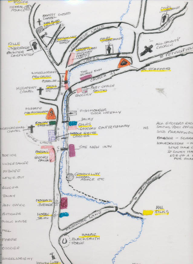
Margery Lambert drew this map in 2007 of the location of shops and workshops in East Meon in the 1920s
A selection of old maps of East Meon, starting with an unique sketch map by the 1567 surveyor showing a mill in the hundred. The most comprehensive mapping of the parish took place in the mid-19th century when the country was surveyed and assessed for the Apportionment of Tithes.
No Comments
Add a comment about this page