Maps, parish
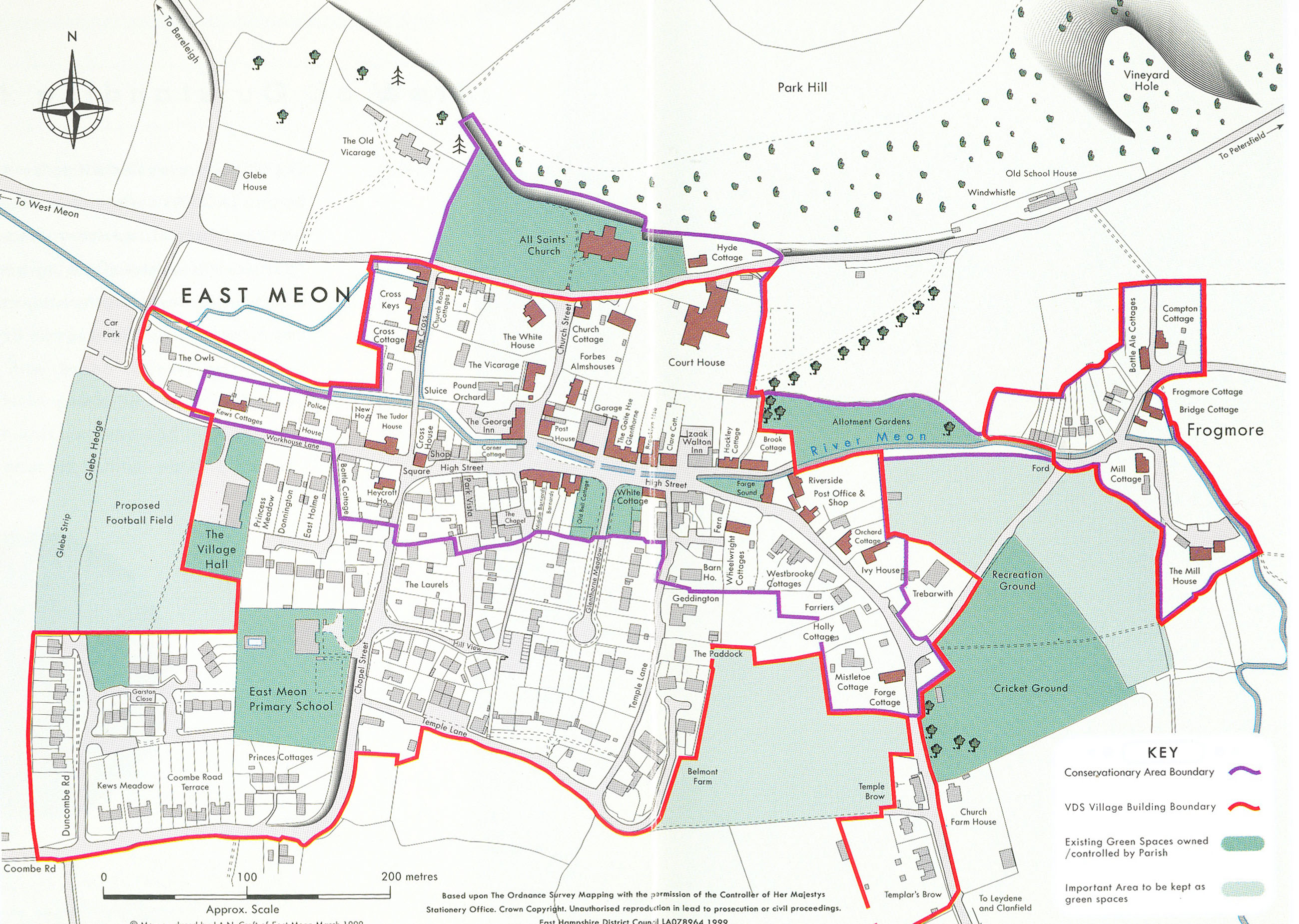
East Meon Policy Boundary from Village Design Statement
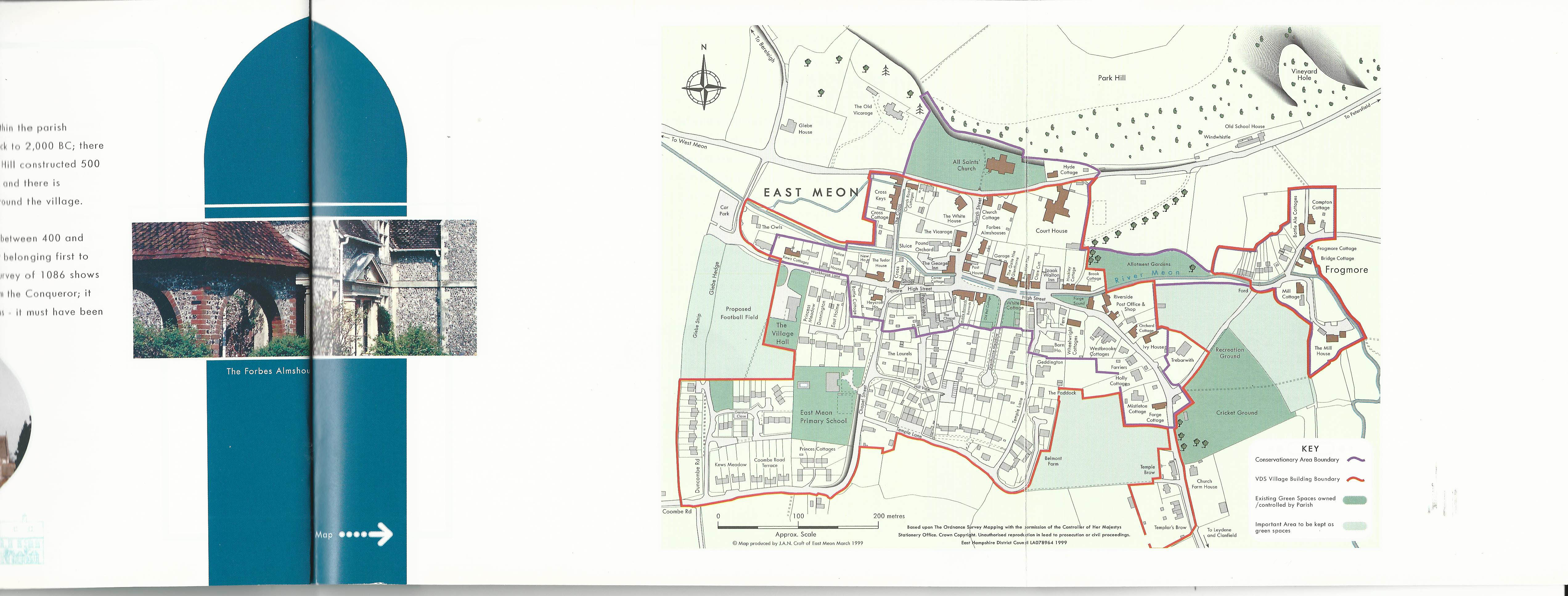
Map created for 2009 Village Design Statement
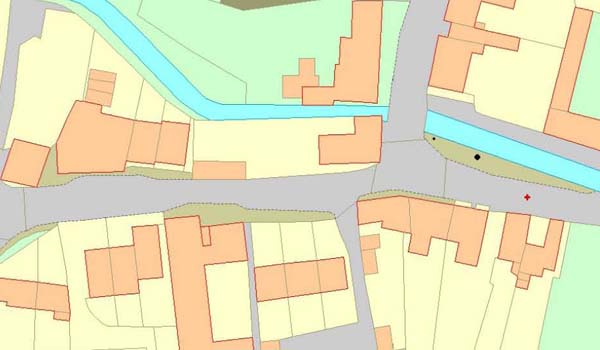
Parish map showing centre of village, including Church Street and the western end of The High Street
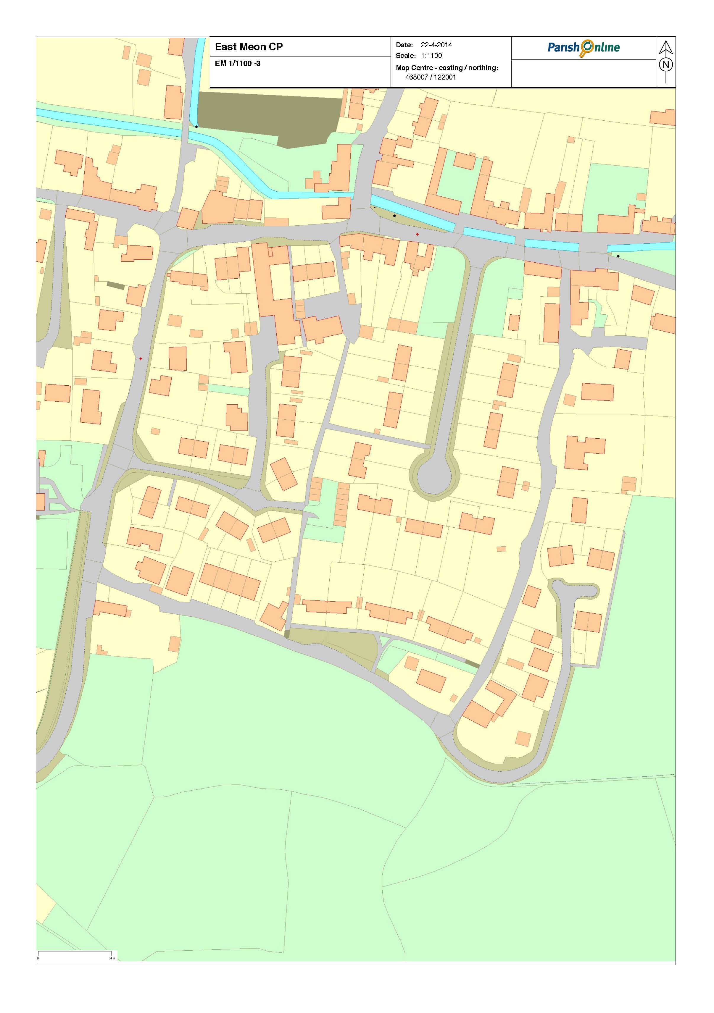
Parish map showing Glenthorne, High Street, Chapel Street and Temple Lane
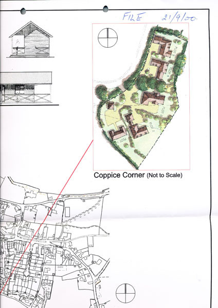
Proposal to develop corner of Coombe Road, 2002
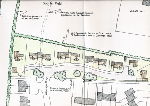
Proposed layout of The Green, 2000
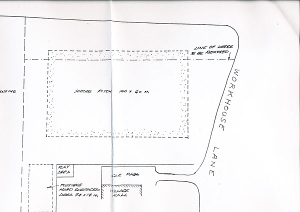
Soccer pitch plan 2002
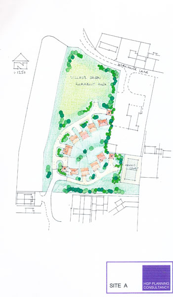
'Squiggly worm, plan for The Green
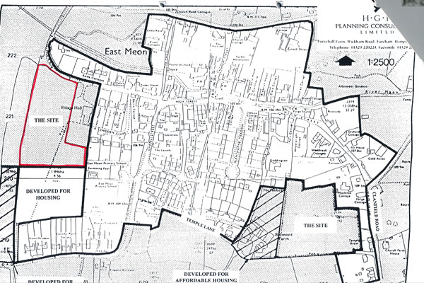
Proposed development of Belmont Farm
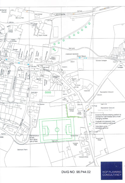
Proposal for development on Coombe road and soccer pitch on Belmont Farm, 2000.
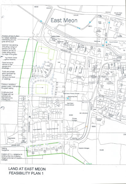
Coombe Road plan 1
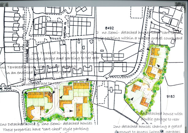
Plans-for-Coppice-Corner-and-Coombe-Road 2000
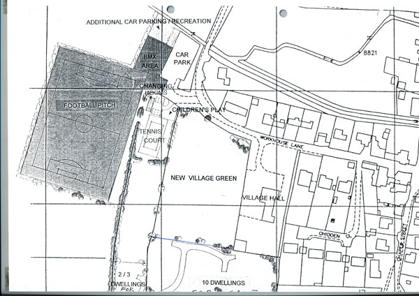
These are maps from the files of the Parish Council and show c21st century layouts of the village. The second collection are of plans for developing new housing and a soccer pitch in 2000, which resulted in the development of Kews Meadow as ‘The Green’.
No Comments
Add a comment about this page